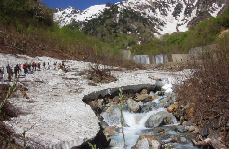
Enjoy the Mountains of Shinano Omachi
We maintain an environment where men and women young or old can enjoy mountain climbing and hiking. From spring to summer, there are lush green plants and flowers of all colors, while in autumn, the place seems ablaze with fall leaves as far as the eye can see. If you are lucky, you might encounter rock ptarmigans or Japanese serows, both animals designated as Special Natural Monuments in Japan.
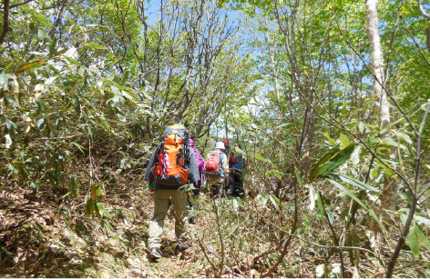
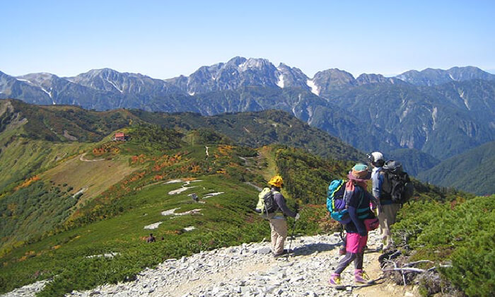
Trekking
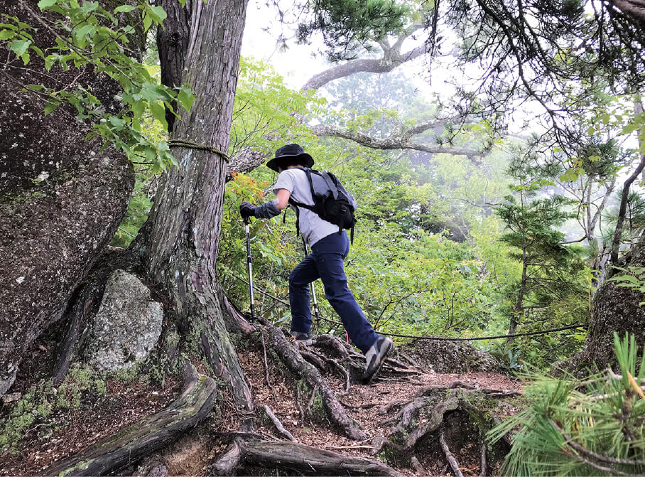
The hiking trails here can be easily enjoyed by hiking beginners, so we recommend coming here with your family. From the Mt. Takagari observation deck, you can enjoy the panoramic view of the Northern Alps, the autumn leaves at Reishoji Temple, and other stunning seasonal scenery. Many suggested itineraries are available featuring fairly tame trails that can be completed in just a few hours as well as longer trails that you can enjoy over the course of a day.
Mountains
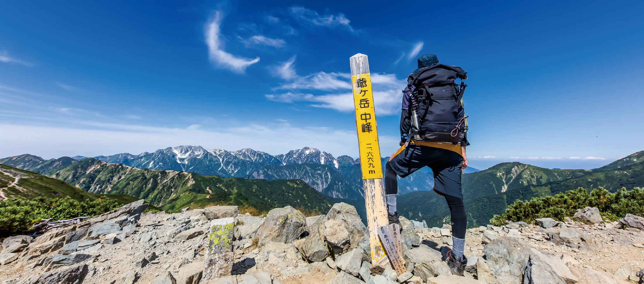
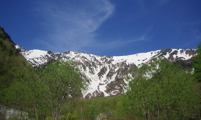
Mt. Jigatake &
Kashimayarigatake
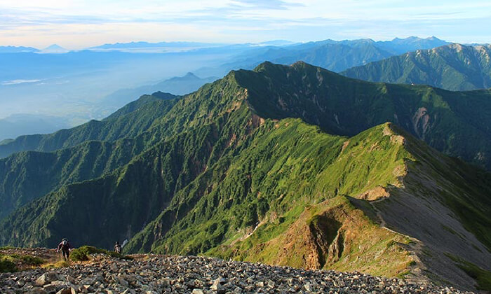
Comprised of three peaks, Mt. Jigatake is located in the southern part of the Ushirotateyama Mountain Range. Climbing Mt. Jigatake using the Kashiwabara Shindo trail is one of the best introductory summer mountain courses in the North Alps. Kashimayarigatake features a beautiful, gently arching ridge that connects the two north and south peaks at its summit. Located centrally in the Ushirotateyama Mountain Range, it is the most prominent mountain in name and in reality of the mountain range. The valley in the northeast slope of the mountain contains “Kakunesato,” which is recognized as a glacier.
| Trailhead |
|
|---|---|
| Elevation | Jiigatake:2669 meters (8756 feet) Kashimayari:2889 meters (9478 feet) |
| Access |
|
Mt. Harinokidake
Located in the southern area of the Ushirotateyama Mountain Range and virtually in the center of the Northern Alps. The entire scope of the Northern Alps is visible from here. This mountain has a long history of being worshipped, and there’s even a legend of the former Toyama Castle ruler, Sassa Narimasa, fleeing over it in the winter of 1584. The mountain’s name, “Harinoki,” originates from the Japanese name of the Japanese alder, “Han-noki,” which grows near the village.
| Trailhead | Harinoki Trailhead |
|---|---|
| Elevation | 2821 meters (9255 feet) |
| Access | Please take an Alpico Kotsu bus for Ogisawa from Omachi Station. Many different trailheads can be reached from Ogisawa. |
Mt. Eboshidake
Mt. Eboshidake is located in the middle of the Northern Alps. It is famous for the Ura-Ginza mountain range trail. At the summit, there’s an oblong obelisk and a ridge of beech trees, which is known as one of the three hardest climbs in the Northern Alps. By climbing over the ridge, you will find a magnificent panoramic view.
| Trailhead | Takase Dam Trailhead |
|---|---|
| Elevation | 2628 meters (8622 feet) |
| Access | About 45 minutes from Shinano-Omachi Station by taxi. From Shinano-Omachi Station, take the Uraginza-bus to Nanakura Sanso-mae (mountain lodge), about 45 minutes. *Only operates on specific days from July to October. Please pass from in front of Nanakura gate to Takase dam by specific cab or on foot. |
Mt. Gakidake
The mountain’s name originates from a distortion of the Japanese word for cliff face, Gakeoka, which reflects the towering cliffs visible from Azumino. It is also linked to local folklore about the hungry ghost, Gaki, whose legend still lingers. Near the summit, you’ll find a rookery of Komakusa plants, where the striking contrast between the white cliffs and the lush Japanese stone pine creates a breathtaking landscape to admire.
| Trailhead | Shirosawa Trailhead |
|---|---|
| Elevation | 2647 meters (8684 feet) |
| Access | It is a 30-minute taxi ride from Shinano-Omachi Station. |
Essential Tips for a Safe and Enjoyable Hike
-
Local Guide
It is recommended to enter the mountain with a guide if this is your first time visiting or if you lack mountain climbing experience.
-
Mountain Weather
The weather in the mountains in the afternoon is extremely volatile, so it’s recommended that you head straight for a mountain hut as soon as possible. Furthermore, even for non-snowy mountains, bringing snow equipment during May, June, and October is necessary.
-
Health Management
Please drink plenty to prevent any health problems such as dehydration or heatstroke. Prepare thoroughly to enjoy your climb safely while also making sure to check weather and mountaineering information.
-
Natural Environment
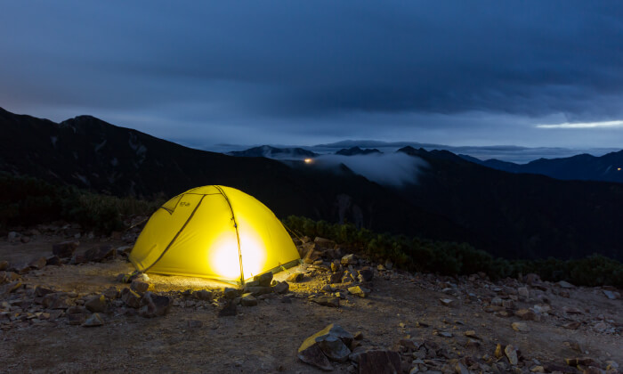
Picking plants is prohibited. Entering into areas outside of the trail is prohibited. Please make sure to use tents at the designated areas only.
-
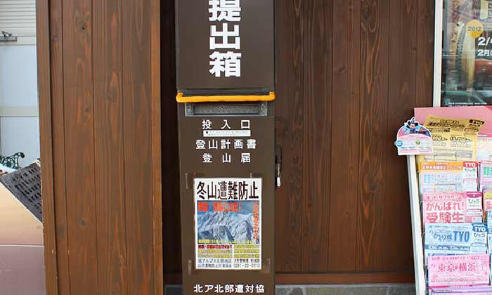
Hiking Notification Form
A hiking notification form should be either submitted to the related police station, put inside the hiking plan postbox at the trailhead of the mountain, or submitted to the nearest mountain hut.
-
Means of Communication
Secure some sort of means of communication, such as a mobile phone or wireless transceiver. However, mobile phones are known for having problems depending on the weather and/or location, so you should be careful not to trust them too much.